Open sores data
...hearing what isn’t said
I work as a geospatial analyst. Think of someone that analyzes data but has an additional column in their dataset. A column that contains geographic coordinates.
Because I reserve the right to be irreverent in my own writing, think about the juvenile practice of adding “…in bed” to each fortune read aloud from a fortune cookie.
“Your road to glory will be rocky, but fulfilling…”
“Don’t pursue happiness—create it…”
Now returning to geospatial analysis—tack on a geographic coordinate to every insight you can possibly explore. Not as funny but I got your attention.
Tobler’s first law of geography states, “Everything is related to everything else, but near things are more related than distant things.*” It matters where things are happening. Pollution, flooding, crime, poverty—all of the things I examine when speaking about communities.
*would also make a spicy fortune cookie…
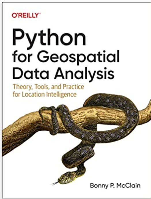
I was recently speaking to an audience about open source data. I am writing a book and one of the differentiators for me is the fact that the data and tools are all publicly available without incurring financial cost to the user. Not to bash proprietary systems but if you are willing to learn a few skills you can have a lot of insights at your fingertips.
An audience member appeared confused—she thought I said, “open sores” data. I was going to ask her if she was referring to decubitus data but I resisted being publicly amused at her expense.
Often we hear things that aren’t being said.
Take Siri for example.
“Siri, remind me to find that article for my talk on Environmental Racism”. Although I admit to not having the cleanest diction in the world, I don’t think I will find many articles on, “end Byron mental race schism “…
Pay attention to what is NOT being said
My husband and I were headed somewhere in the car and NPR was reporting about residents of Jackson, Mississippi dying from thirst. The remedy suggested for dealing with toxic water coming into their homes? Boil it and shower with your mouth closed. What the actual…?
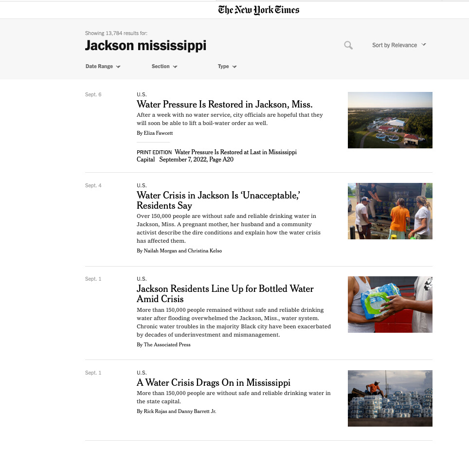
Having been off the news circuit for a few days prior due to pending deadlines, I searched the Gray Lady and found the typical headlines.
Also a member of the National Press Club I fancy myself a geoJournalist so decided to examine the built infrastructure and a few foundational potential causes upstream from the persistent neglect and dismantling of marginalized communities not only in Jackson Mississippi but in Mississippi in general.
The geospatial angle…
As land-use changes; peak discharge, water volume, and flood frequency increases. Anything that removes vegetation, grades land surfaces or impacts the drainage of these networks is problematic.
The Mississippi River Basin is a big deal. The watershed drains either all or some capacity of 32 U.S states and two provinces in Canada and is affectionally referred to as Americas River. You don’t need a geology degree to realize that toxic run-off contributes to the hypoxia of the Gulf of Mexico, migratory patterns of more than 300 bird species, and impacts the drinking water quality of all it serves.
The map below is showing the land use change patterns from the 1940s until about 20 years ago. I don’t want to spoil the ending but I don’t think there have been any cathartic events along its tributaries in the last 20 years.
There are a lot of people fighting to maintain and improve these waterways but it is a Herculean task requiring less stochastic interventions and more Federal oversight—thank you Mississippi River Basin Healthy Watersheds Initiative.
How marginalized populations become marginalized…
I have lectured extensively about the redlining of the 1930s dictating land-use systems in the modern era. On the left in the video below, you will see maps with designations of “risk” as recorded in the underwriter’s manual.
On the right you see communities impacted by social vulnerability. The 4 buckets are:
socioeconomic status
household composition
race/ethnicity/language
housing/transportation
Watch the designations on the left from the 1930s:
Green - the best (upper middle class white neighborhoods)
Blue - still desirable but not quite the best but primarily white or US born
Yellow- declining neighborhoods because of working class, immigrants from Europe
Red - hazardous—”infiltrated” with “undesirable populations”
Click video to start—(its short)—https://ncrc.org/holc-health/
How do we heal open wounds? Applicable to literal and figurative (societal) wounds:
Most non-healing wounds – whether from trauma, infection, hospitalization, diabetes, poor circulation, surgery or other underlying health issues – heal without any problem. There are risks factors in our lives and environment, however, that can delay or stop the healing process. Wounds that fail to heal can diminish a person’s quality of life and lead to other medical problems.—Johns Hopkins Medicine, The Center for Wound Healing
You can now pre-order:
Here is my location data (more info to come):
September 27- 29th Open Source Science Data Repositories Workshop - Langley Research Center NASA
Keynote Los Angeles County GIS Day https://www.gisday.com/en-us/overview
January 2023 — Data Day Texas —https://datadaytexas.com/2023/speakers


